Lake Superior’s South Shore
“Take 2” Success!
On August 1st, we staged at Big Bay (for the second time) to embark on our trip along Superior’s south shore to the North Channel. We set the alarm to leave a couple of hours before sunrise. This anchorage is an easy departure and we’d prefer an extra buffer of time for arrival to a new harbor before dark. After months of working on boat refit projects, a handful of shakedown trips, and a major oil leak just a few days ago, we were almost in disbelief that we were actually going to leave Bayfield. “Here we go!”
First Stop: Ontonagon
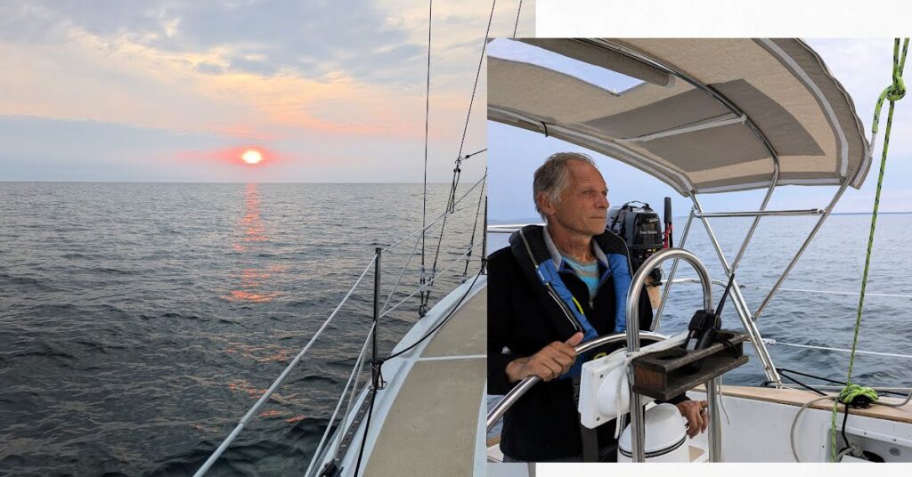
With not much wind, we mostly motored with some motor sailing. It was a long day, but a good day. Highlights were watching the sunrise and realizing that we were on our way!
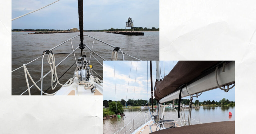
Ontonagon Harbor
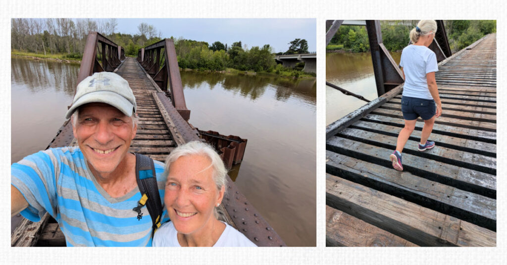
After navigating the outer entrance and a narrow inner entrance, we chose a dock space and got tied up. Although we were tired, we wanted to explore the town before moving on the next morning. We could take an old rail bridge or highway to get to town. We opted for the footbridge but were very careful with each step as we didn’t want to twist an ankle. Since we were both still getting our sea legs, we felt the lingering motion of being on the water all day as we took each step on the next timber – “Be careful!”
Upper Peninsula Pasties
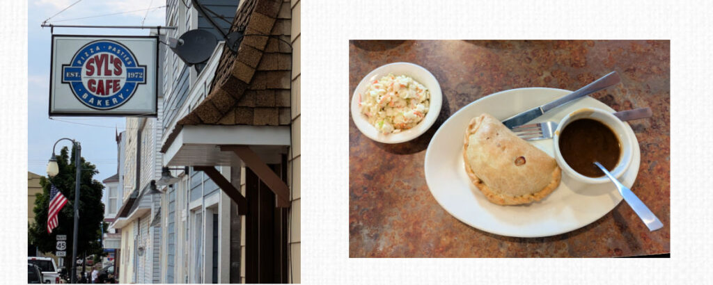
Many businesses in town were closed, but we found a local restaurant to grab some dinner. We both ordered a pasty dinner. “With gravy?” the waitress asked. “Sure!” The Upper Peninsula is known for its pasties and this one did not disappoint! Besides eating a yummy dinner, we also enjoyed a glimpse of this quaint, historic town. It seemed pretty quiet, but maybe on the weekends, it gets more visitors.
With our first day under our belt, we were excited to keep making progress towards the North Channel. We set an alarm to make an early start at first light.
First Light
We woke up and began our routine to prepare for another passage day.
“It sure seems dark this morning.” “Is it supposed to be overcast today?”
“I didn’t think so.”
Our plan was to leave at first light; not quite sunrise, but when there was enough light to safely navigate out of the harbor. We were ready to go, but the first light still wasn’t appearing.
Time Zone
It finally dawned on us that there was a time zone change that we had not taken into account. We based our wake-up time on the previous day’s first light which was in a different time zone!
“Want another cup of coffee?”
“Sure!”
Keweenaw Waterway
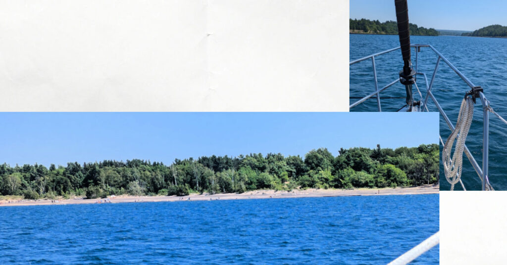
Our next destination was the Keweenaw Peninsula. We decided to take the Keweenaw Waterway that cuts through the Peninsula. After entering the Keweenaw Waterway upper light, we were surprised to see an expansive beach with lots of weekend activity. It makes sense it’s a popular spot since it is protected from the big lake and still provides a scenic view. Shortly after the beach and lake area, the waterway narrowed. Preferring to anchor whenever we can, we found a nice spot outside the canal channel markers and called it a night.
Houghton
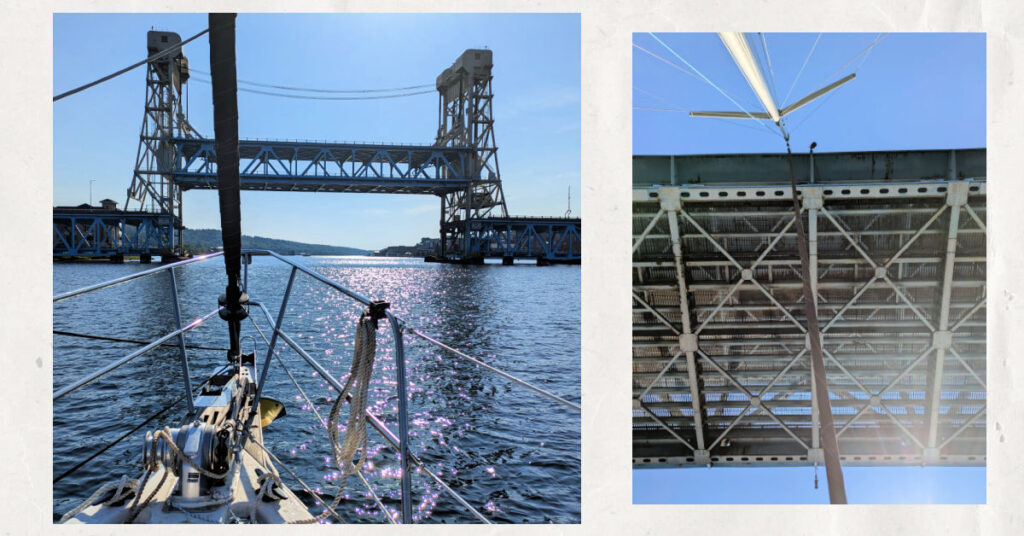
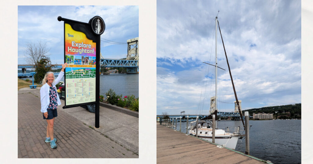
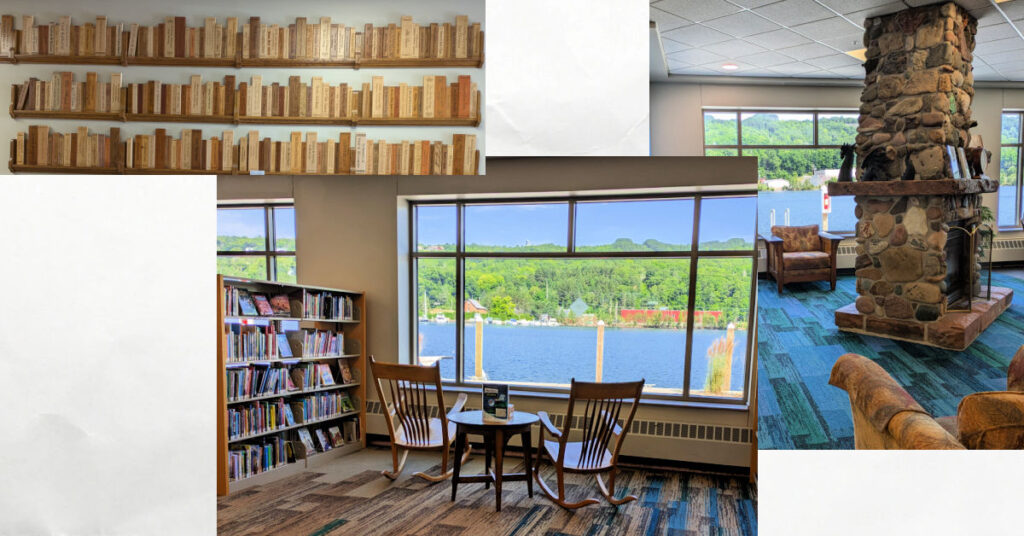
The next day we continued to the cities of Houghton and Hancock which face each other across the water. After going under the bridge, we tied up to the Houghton wall, grabbed lunch at Roy’s (another Pasty!), and explored the town for about an hour. I was especially impressed with the library! It was right on the water with big picture windows, a fireplace, and rocking chairs. What a tremendous community spot!
Dock Mates
When we tied up, the town wall dock was empty. But when we returned to Meraki about an hour later, more boats had arrived and docked close in front of and behind us. With plenty of open wall space, why did they tie up so close to us? We discussed a few strategies to depart our tight spot and made a plan. The plan didn’t go as we had imagined, does it ever?! A family was picnicking at a nearby table and witnessed our comedy of getting off the wall. We had tried to account for the current and wind and how to maneuver without playing bumper boats with our dock mates, yikes! It wasn’t our finest departure, but we made it without incident.
River Anchorage
For tonight’s anchorage, we ventured off the main canal, went down the original river, and found a nice spot to drop the hook. At first, it felt like a secret spot with quiet nature and a remote setting. That was until the jet skis buzzed by! The sailing lifestyle is often like this; full of contrasts!
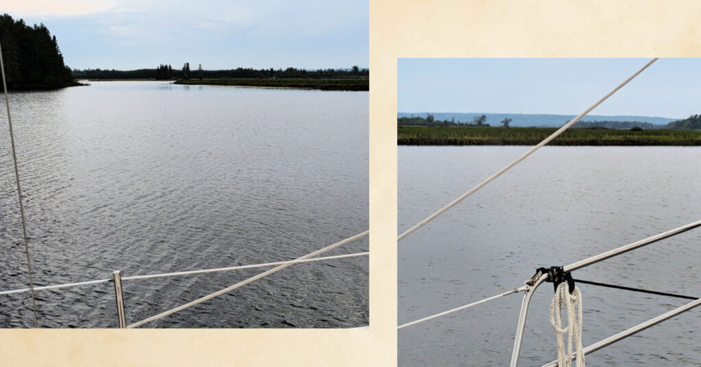
At first light the next morning, we got underway and rejoined the main canal. We exited the waterway as the sun was rising over the big lake.
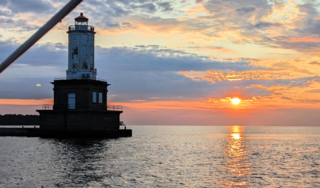
Marquette
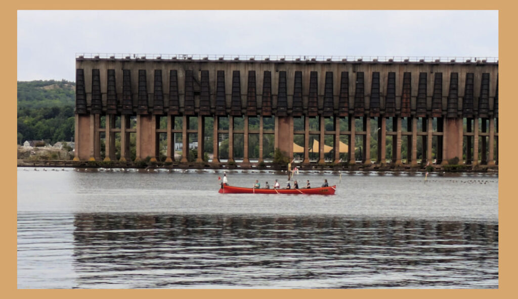
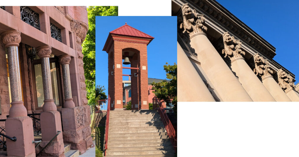
Back on the big lake, we were happy to raise our sails. Except for some cloudy skies, we had almost ideal conditions for a scenic shoreline sail to Marquette. We’ve visited Marquette by land before and it was fun to arrive by water. It’s becoming one of our favorite spots with its historic buildings, unique shops, beautiful waterfronts, and community activities.
Fixing Things
Marquette seems to offer that nice balance of small-town atmosphere, but it’s still big enough to have the things you need. Even from our short trip from the Apostle Islands to Marquette, we had accumulated a list of boat gear and spare parts to find along our way. Marquette was a perfect provisioning spot!
Grand Island
Leaving Marquette in a strong headwind, we took long tacks towards Grand Island, Munising. Our chart plotter showed a zigzag pattern as we made slow progress upwind. Wanting to arrive before dark, we practiced our math skills. How far have we traveled in what amount of time and would we arrive before dark at this rate? We tacked most of the way there and arrived before sunset. Fun fact – our anchorage was near a shipwreck.
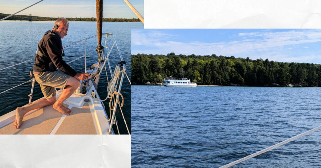
The forecast for the next day was calm and clear skies, but cloudy and rainy days were coming after that. Sometimes it’s a hard choice to stay or leave. This was one of those situations. We wanted to see the shipwreck and explore Grand Island’s other anchorages, but we were also looking forward to seeing Pictured Rocks which would best be seen on a clear day.
Pictured Rocks
We decided to keep moving to see Pictured Rocks on a clear day. Seems we weren’t the only ones taking advantage of the nice weather. There were many kayakers and tour boats up and down the shoreline of Pictured Rocks National Lakeshore. “Those kayakers are strong paddlers!” I commented thinking of the distance from Munising. While some of them might have paddled the whole way, we soon saw evidence that not all of them made the trek on their own. There’s a tour boat that carries the kayaks to a little beach in a cove and lets the kayakers paddle around the rocks and sea caves from there. Smart!
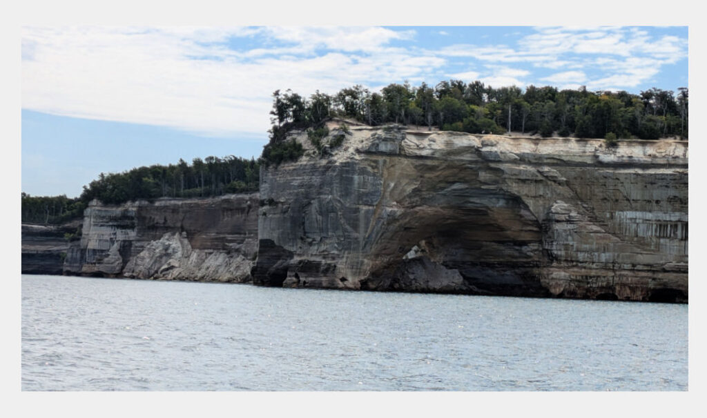
The colorful weathered sandstone was a highlight for us to see. The sea caves reminded us of good memories of exploring the sea caves in the Apostle Islands with our grandsons.
Grand Sable Dunes
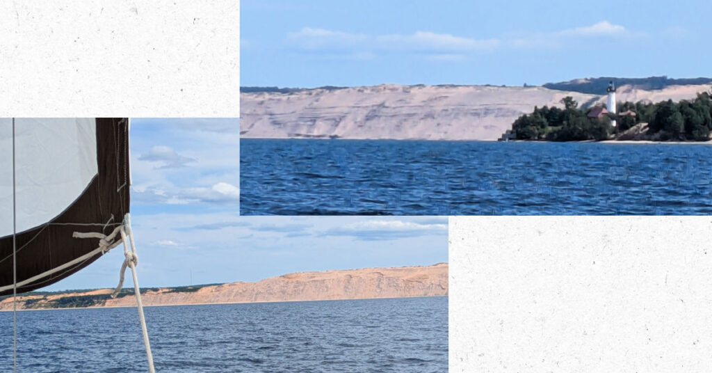
We weren’t expecting the landscape to change from a shoreline of rocky bluffs to dunes, so we were surprised when we saw the big expanse of sand at Grand Sable Dunes.
Grand Marais, MI
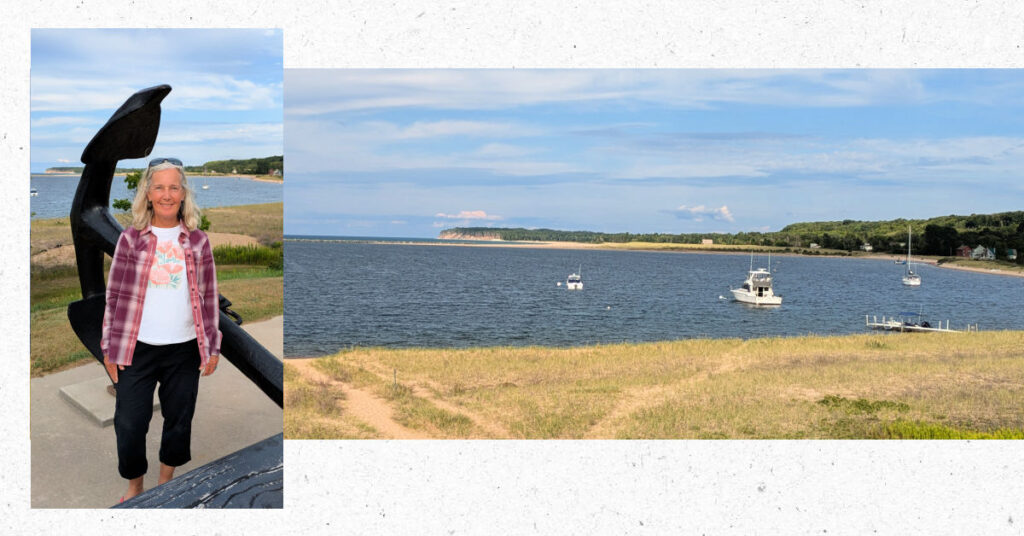
Exploring the little harbor towns along our routes is one of the activities we enjoy while cruising. But first, we needed to get anchored! Deciding where to drop the hook took us longer than normal. We struggled to find the balance between not too deep and not too close to shore. Once settled, we dinghied to shore (which was close) and walked around the town. Marquette was cute and little and surprisingly busy with tourists.
Whitefish Point
On August 8th, our 44th anniversary, we had a sporty sail complete with a couple of rain squalls on our way to Whitefish Point. Having Sirius weather on our chartplotter helped us immensely! We could watch the surrounding weather and be ready with our rain gear on and reefed sails. One time the rain was coming down so hard, I wished I had my snorkeling mask onboard. We didn’t think we’d be snorkeling on this trip, so we didn’t bring our gear. Next time! We also had debated about bringing our offshore foul weather gear since we were sailing in the summer, but we were thankful we did! Our bibs helped keep us warm on this cold and rainy day!
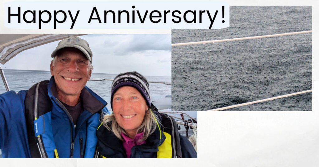
Speaking of being a cold and rainy day, it was a perfect time to test out our hot water heater and shower in the head. Up to now, we’ve been taking what we call a “sea bath” of jumping in the water to get wet, using a biodegradable shampoo and soap to wash up, and jumping in to rinse off.
Shower Drain
Tony was the first to test the shower. First I heard him exclaim “Whoa, it’s really hot!” He got the temp adjusted.
Soon after, I heard “The water is up to my ankles!”
“There’s water coming out under the head door onto the galley floor” I added.
The good news is the water heater works. The bad news is the drain was clogged. Mr Fix-It (Tony) found a way to clear the drain and then it was my turn. All worked fine for my shower other than realizing showers use a lot of water! We better get our watermaker hooked up if we’re going to be showering onboard often. Ahh, what a life of luxury we’re living on Meraki with a hot shower down below! Simple pleasures of life!
Fishing Boats
Whitefish Point Refuge harbor is primarily used for fishing boats – which our noses detected as soon as we neared our slip. I don’t mind the smell of fish as much as Tony. There isn’t much around this harbor of refuge other than the Great Lakes Shipwreck Museum. Here we were again wanting to take in a local attraction (the museum), but needing to take into account the forecast. If we stayed to see the museum, we’d be holed in here for a handful of days waiting for better weather (with the fish smell) or we could leave tomorrow for the Soo and wait out the weather there.
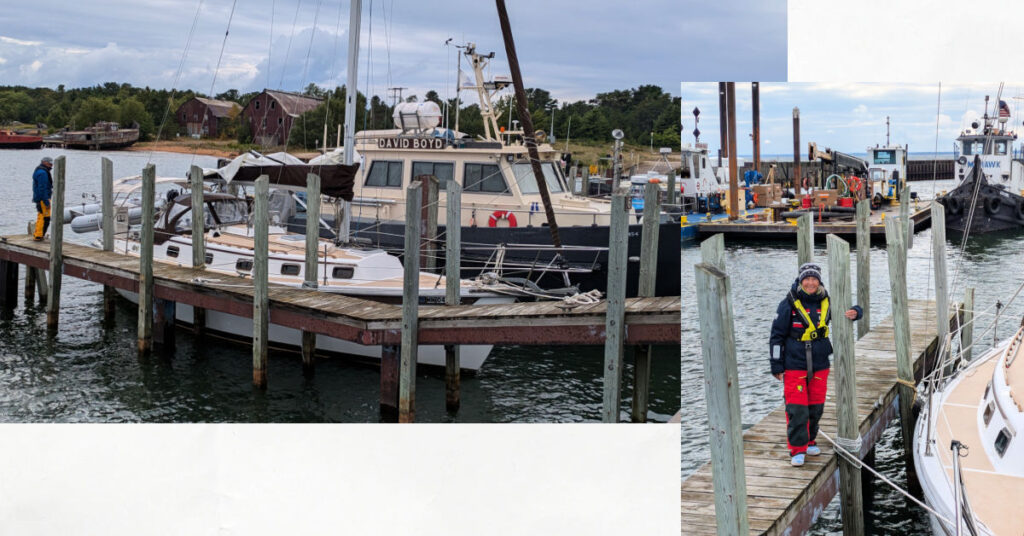
To The Soo!
We’re headed to the Soo! From Whitefish Point, we saw lots of freighters pass by. We can’t wait to see more as we navigate St Mary’s River and Sault Ste Marie locks.
Our Route
Here’s a map of our stops along Superior’s South Shore. Thanks for your interest in our sailing trips!
I love this! How exciting! I’ve traveled your path by car and love hearing your adventures by water. Keep on sailing!
By land or water, it is a gorgeous route for nature lovers and outdoor activities!